
Culture and Public
Urban Design
Kıyı Bandı Master Planı, Trabzon
A master plan for pedestrian paths, beaches and public buildings along a 3.1 km waterfront.
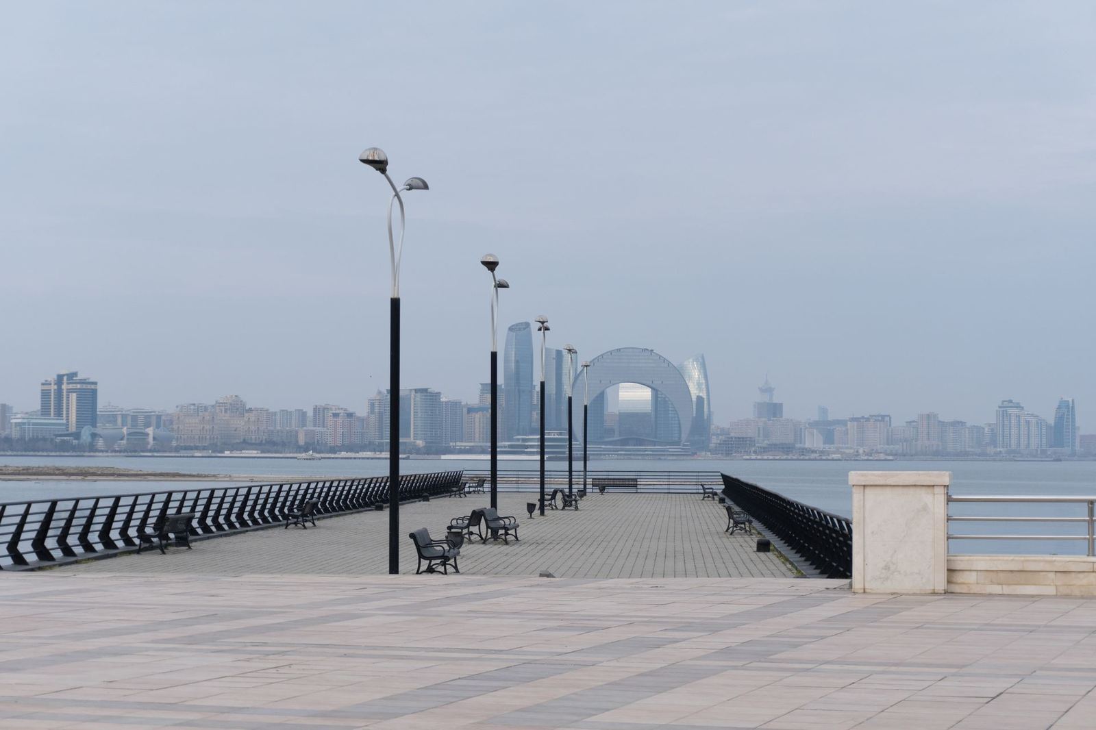
The Waterfront Master Plan aims to reconnect to the city a 3.1 kilometer strip where the highway has separated the sea from the town. The plan proposes a public bridge-park covering part of the highway, two small marinas and five new public buildings.
Design approach
The plan was prepared following 11 workshops and 4,200 surveys with residents. The breakwater height and flood buffer were calculated according to climate change scenarios.
Project facts
- Client: Trabzon Metropolitan Municipality
- Location: Ortahisar, Trabzon
- Year: 2027
- Area: 3.1 km waterfront
- Status: In design
- Project team: 9 kişi
Materials and construction
The plan's technical work is carried out jointly by marine engineering, transport planning and landscape teams. Coastal erosion, wave height and flood modeling was carried out for each section of the shoreline.
Drawings, models and photographs of the project are included in the press kit; contact our studio for publication and exhibition requests.